Landing zones for Zenit-2 missions
Sven Grahn
The old Novosti Kosmonavtiki
Website used to provide an article about the Zenit-2 program. This article
contained a table containing coordinates for the landing spots for many
of the flights. Below follows a map showing all these coordinates and then
maps of the landing sites organized after launch site and inclination.
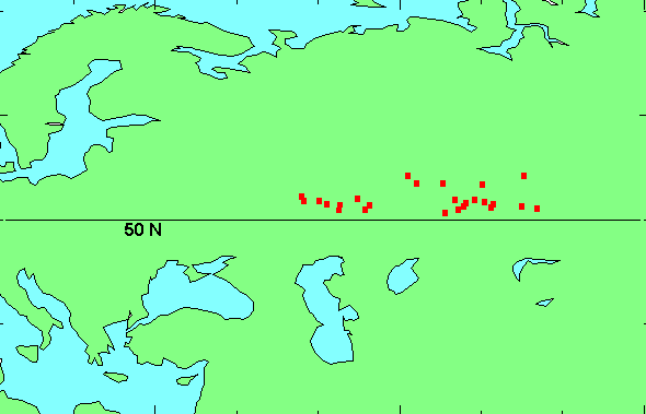
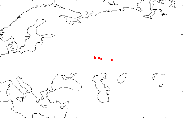
It seems that the basic operating principle was to perform all landings
at roughly the same latitude, but at varying longitude. The longitude variation
is of the order of 30 degrees!
All known landing
coordinates for Zenit-2 missions
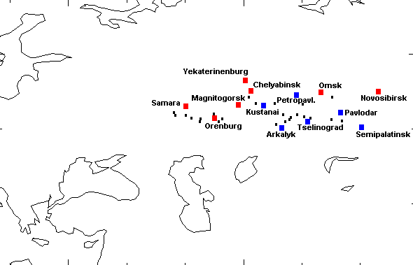
Cities
near the landing sites
Cities in Russia are marked
red,
while those in Kazakhstan are marked blue.
65o
inclination launched from Plesetsk
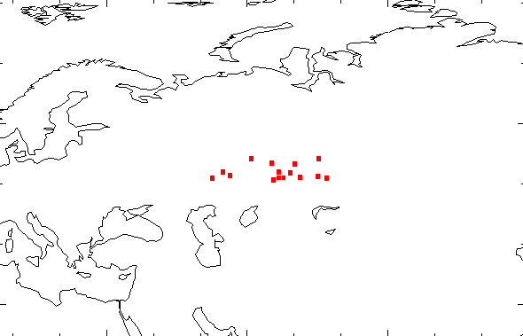
Landing points for Zenit-2
satellites launched from Plesetsk at 65o inclination
72-73o
inclination launched from Plesetsk
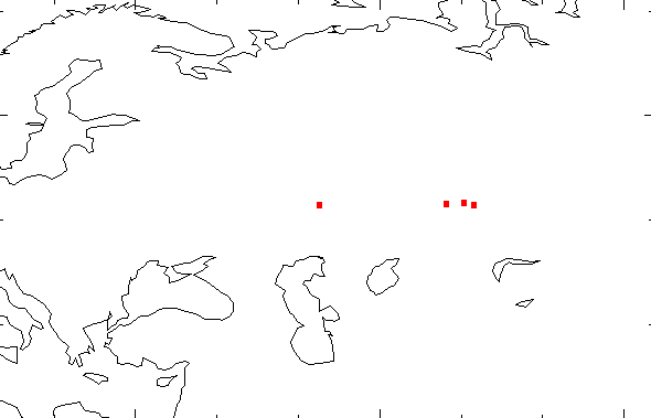
Landing points for Zenit-2
satellites launched from Plesetsk at 72-73o inclination
51-52o
inclination launched from Baikonur
Landing points for Zenit-2
satellites launched from Baikonur at 51-52o inclination

 Back
to First generation reconnaissance satellites
Back
to First generation reconnaissance satellites
Back
to Space History Notes